Solutions From Concept To Completion
Structural Engineering
Site Solutions From Concept To Completion
Civil Engineering
Solutions Where Land Meets Water
Marine + Coastal
Solutions From Procurement To Completion
Construction Engineering
Structural + Mechanical Specialists
Entertainment Engineering
Consultation, Design + Inspection
Facade + Building Envelope
Soil + Foundation
Geotechnical Engineering
Investigation + Litigation Support
Forensic Engineering
Arts + Entertainment
Live Performances
Museums + Art Displays
Pop-Ups
Signage
Studios + Sound Stages
TV + Film Production
Theaters
Theme Parks + Playplaces
discover
Education
Colleges + Universities
Private + Specialty Schools
Public K-12
discover
Energy
Solar Energy
Transmission Infrastructure
Wind Energy
Oil + Gas
discover
Government
Municipal
State
Federal
discover
Healthcare
Senior Care
Hospitals
Outpatient Facilities
discover
Industrial
Heavy Industrial
Warehouse + Distribution Centers
Industrial Ports + Terminals
discover
Ports + Coastal
Berths, Piers + Wharves
Bulkheads
Esplanades
Ferry Landings, Ship Terminals
Floating Structures
Ports + Terminals
Marinas + Breakwaters
Transfer Stations
discover
Public Infrastructure
Bikeways + Trails
Garage + Parking Facilities
Park + Recreational Spaces
Streetscapes
Utility Infrastructure
Water + Wastewater
discover
Real Estate Development
Commercial
Community Facilities
Mixed-Use
Multifamily Residential
discover
Transportation
Airports
Bridges
Ports + Terminals
Rail Transportation
Roads + Highways
Ropeway + Linear Infrastructure
discover
Floating Harbor Wetland
Multimodal Processing Plant
416 + 420 Kent Dynamic Highrise
Wittpenn Bridge
Tiffany Crane
LaGuardia Airport Terminal B
NYC Ferry
Orlando Airport LED Displays
A leading full-service engineering firm renowned for our trusted, high quality, and innovative approach to solving complex challenges.
Future Planning

Bahamas Coastal Survey:
Comprehensive Drone and Hydrographic Analysis in Shark-Infested Waters

Using our latest piece of survey equipment, the DJI Matrice 300 RTK drone, in conjunction with traditional ground survey equipment, our survey team performed hydrographic and topographic surveys on site at Highbourne Cay Exumas, Bahamas in support of future expansions and upgrades to the island.

Bahamas Coastal Survey Provided Highly Detailed Data

Surveying approximately 30 acres – including shark-infested waters – the team collected LiDAR and photogrammetry data and performed a singlebeam hydrographic survey, gathering detailed information on coastal structures, marina, and entrance channel. This state-of-the-art drone, when combined with traditional survey equipment, provided high-precision aerial LiDAR and photogrammetry capabilities, enabling us to create detailed 3D point cloud data and 2D georeferenced maps, or orthomosaics, that offer scrupulous detail for future planning.

DJI Drone Being Used in Highbourne Cay Exumas, Bahamas

Drone Surveys

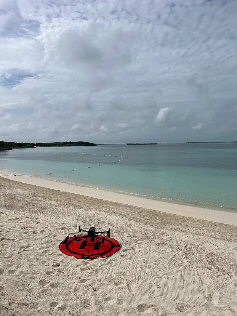
Now equipped with the durable DJI drone, our crews can tackle projects of any scale. Its versatile payload options, including LiDAR and advanced camera sensors, ensure comprehensive data collection for the most intricate site details.